Plot an invisible layer with the extent of a spatial object.
ghostLayer(x, bg)Arguments
- x
an sf object, a simple feature collection or a Spatial*DataFrame.
- bg
background color.
Examples
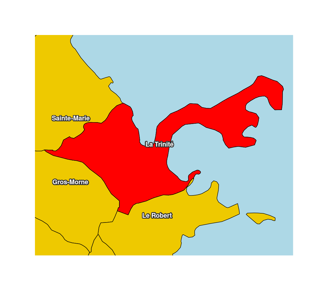
library(sf)
mtq <- st_read(system.file("gpkg/mtq.gpkg", package="cartography"))
#> Reading layer `mtq' from data source
#>   `/tmp/RtmpmpfIrO/temp_libpath18ee15f22a9e/cartography/gpkg/mtq.gpkg'
#>   using driver `GPKG'
#> Simple feature collection with 34 features and 7 fields
#> Geometry type: MULTIPOLYGON
#> Dimension:     XY
#> Bounding box:  xmin: 690574 ymin: 1592536 xmax: 735940.2 ymax: 1645660
#> Projected CRS: WGS 84 / UTM zone 20N
target <- mtq[30,]
ghostLayer(target, bg = "lightblue")
plot(st_geometry(mtq), add = TRUE, col = "gold2")
plot(st_geometry(target), add = TRUE, col = "red")
# overly complicated label placement trick:
labelLayer(x = suppressWarnings(st_intersection(mtq, st_buffer(target, 2000))),
           txt = "LIBGEO", halo = TRUE, cex = .9, r = .14, font = 2,
           bg = "grey20", col= "white")