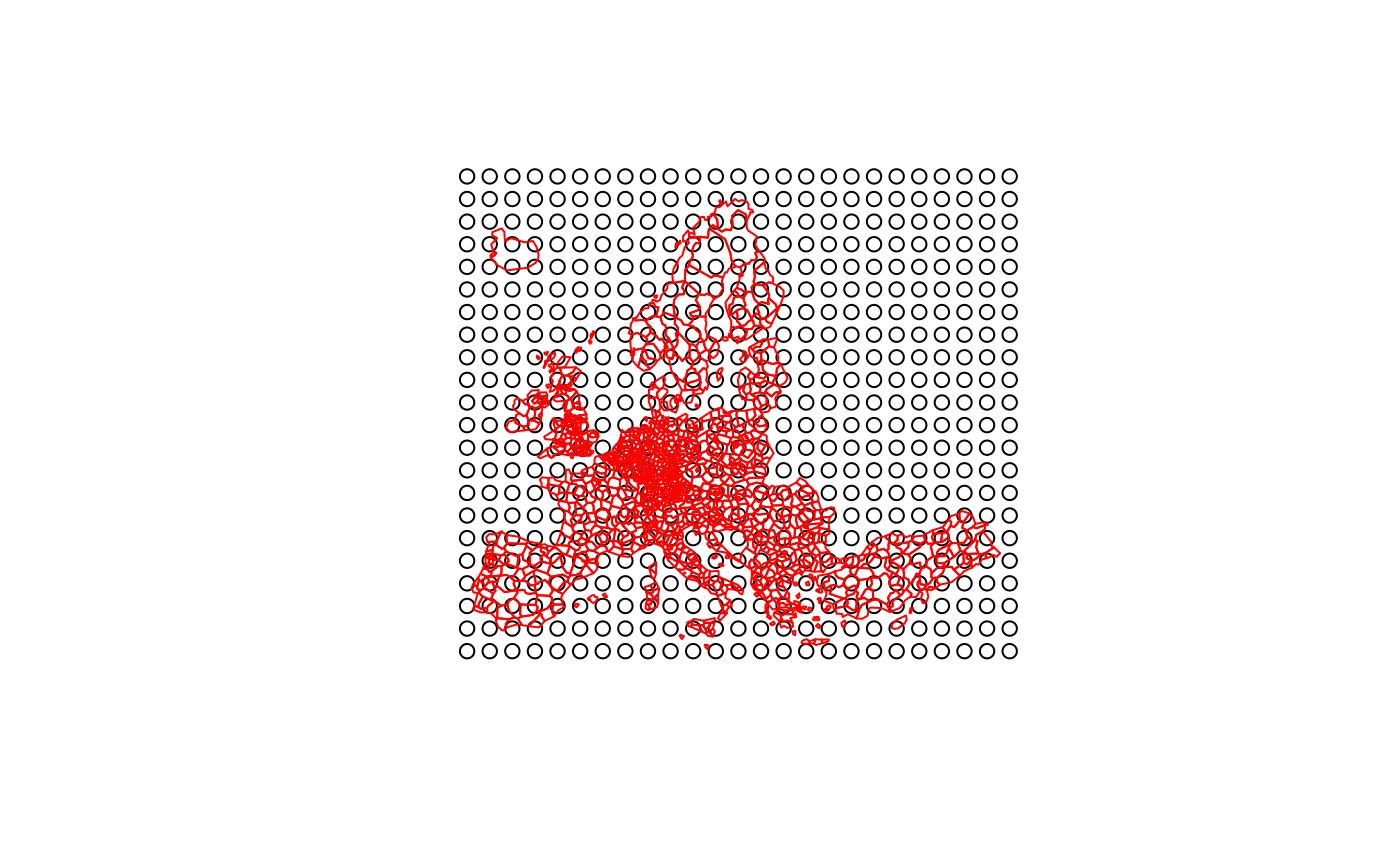
This function creates a regular grid of points from the extent of a given spatial object and a given resolution.
create_grid(x, res)Arguments
- x
an sf object, the spatial extent of this object is used to create the regular grid.
- res
resolution of the grid (in map units).
Value
The output of the function is an sf object of regularly spaced points with the extent of x.
Examples
library(sf)
#> Linking to GEOS 3.9.0, GDAL 3.2.2, PROJ 7.2.1; sf_use_s2() is TRUE
g <- create_grid(x = n3_poly, res = 200000)
plot(st_geometry(g))
plot(st_geometry(n3_poly), border = "red", add = TRUE)